Skip to content
Welcome To Our Store.
100,000+ Products for Home, Medical, Office & Classroom Needs
Search
Skip to product information
1 of 1

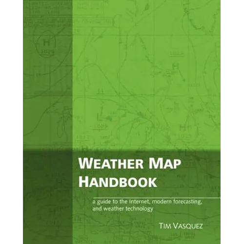
Weather Map Handbook - Paperback

$64.73 USD
$64.73 USD
Sale Sold out
Shipping calculated at checkout.
In stock (94 units), ready to be shipped

Available Offers

Fast delivery available on most orders

Multiple secure payment options accepted

Secure checkout with
  • American Express
  • Apple Pay
  • Diners Club
  • Discover
  • Google Pay
  • Mastercard
  • PayPal
  • Shop Pay
  • Visa

Flight Range: Up to 1,000 meters (3,280 feet)

Maximum Speed: 45 kilometers per hour (28 miles per hour)

For all orders exceeding a value of 100USD shipping is offered for free.

Returns will be accepted for up to 10 days of Customer’s receipt or tracking number on unworn items. You, as a Customer, are obliged to inform us via email before you return the item.

Otherwise, standard shipping charges apply. Check out our delivery Terms & Conditions for more details.

View Product Details
Shopping cart
Product Product subtotal Quantity Price Product subtotal
Weather Map Handbook - Paperback
$64.73/ea
$0.00
$64.73/ea $0.00

Product Description

by Tim Vasquez (Author)

The Weather Map Handbook explains nearly every forecasting chart used in meteorology. It's designed especially for the Internet, showing how to predict weather from scratch using the same charts that professional meteorologists use. A complete listing of weather map symbols, iconographs, and decoding information fills the pages. It's perfect for hobbyists, pilots, students, broadcasters, and storm chasers. Using a double-page format, the Weather Map Handbook demonstrates nearly every type of weather map, image, and product in common use. An overview of each item's origin, purpose, shortfalls, and tips are outlined. Standards for analysis symbology and chart markings are summarized. The surface, 850 mb, 700 mb, 500 mb, and 300-200 mb charts get two pages each, complete with philosophy, objectives, and techniques for each chart. Thickness, isentropic, and Q vector products get their own sections. Topping off the book is an appendix with surface and upper-level station plot models, a vast technical glossary compiled from the depths of the NWS, SPC, and NCEP, and much more.

Number of Pages: 176
Dimensions: 0.38 x 9.25 x 7.5 IN
Publication Date: October 21, 2003
you might like