Skip to content
Welcome To Our Store.
100,000+ Products for Home, Medical, Office & Classroom Needs
Search
Skip to product information
1 of 1

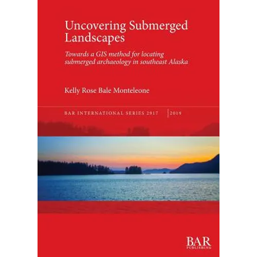
Uncovering Submerged Landscapes: Towards a GIS method for locating submerged archaeology in southeast Alaska - Paperback

$90.72 USD
$90.72 USD
Sale Sold out
Shipping calculated at checkout.
In stock (100 units), ready to be shipped

Available Offers

Fastest Delivery Tomorrow With Vip DealOrder within 1 hr 8 mins.

Instant 10% Discount On HDFC Banks Credit/Debit Cards EMI and CreditCard

Secure checkout with
  • American Express
  • Apple Pay
  • Diners Club
  • Discover
  • Google Pay
  • Mastercard
  • PayPal
  • Shop Pay
  • Visa

Flight Range: Up to 1,000 meters (3,280 feet)

Maximum Speed: 45 kilometers per hour (28 miles per hour)

For all orders exceeding a value of 100USD shipping is offered for free.

Returns will be accepted for up to 10 days of Customer’s receipt or tracking number on unworn items. You, as a Customer, are obliged to inform us via email before you return the item.

Otherwise, standard shipping charges apply. Check out our delivery Terms & Conditions for more details.

View Product Details
Shopping cart
Product Product subtotal Quantity Price Product subtotal
Uncovering Submerged Landscapes: Towards a GIS method for locating submerged archaeology in southeast Alaska - Paperback
$90.72/ea
$0.00
$90.72/ea $0.00

Product Description

by Kelly Rose Bale Monteleone (Author)

Early peoples migrating to the Americas via the coastal migration route would have travelled through southeast Alaska during periods with lower sea levels. The residues of where they lived, hunted and gathered are on the now submerged continental shelf of southeast Alaska. A GIS model, two years of marine geophysical survey (including side scan sonar, sub-bottom profiling and multibeam sonar) and minimal subsurface testing have allowed the author to refine the methods for locating submerged archaeological sites buried on the continental shelf. The environment is reconstructed in 500-year intervals, and these intervals are used to create a predictive model for each time period using inductive and deductive methods. The final model combines the interval models for a final prediction of probable archaeological sites within the region.


Number of Pages: 134
Dimensions: 0.36 x 11.69 x 8.27 IN
Publication Date: January 28, 2019
you might like
