Product Description
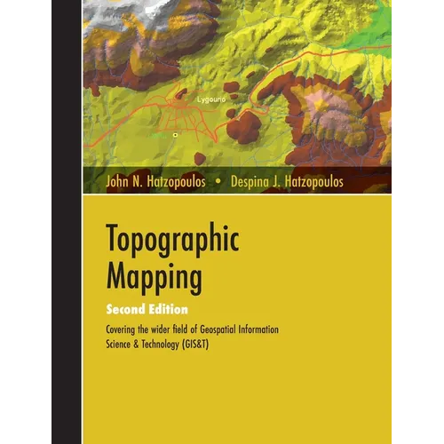
by John N. Hatzopoulos (Author), Despina J. Hatzopoulos (Author)
This book is addressed to students and professionals, and it is aimed to cover as much as possible the broader region of topographic mapping as it has evolved into a modern field called geospatial information science and technology. More emphasis is placed on using scientific methods and tools materialized in algorithms and software to produce practical results. For this reason, beyond the written material, there are also many educational and professional software programs written by the first author to help comprehend the individual methodologies developed. The Target of this book is to provide the people who work in fields of applications of topographic mapping (environment, geology, geography, cartography, engineering, geotechnical, agriculture, forestry, geointelligence, etc.) a source of knowledge for the broader region so that to help them in facing relevant problems as well as in preparing contracts and specifications for such type of work assigned to professionals and evaluating such contracting results. It also aims to be a reference for theory and practice for professionals in Topographic Mapping. This book applies a didactics method where, with a relatively small effort, someone can digest a large volume of simple or complicated knowledge material at a desirable scientific depth within a relatively short time interval. The objective that educated people must be "smarter than the machine" and not treat the machine as a "black box" being "button pushers" has been achieved through the first author's experience in the USA and Greece, with relative success by adopting this didactics technique. There are 14 chapters, including Reference systems and Projections, Topographic instruments and Geometry of coordinates, Conventional construction of a topographic map, Design and reproduction of a thematic map, Digital Topographic mapping - GIS, Digital Terrain Models (DTM / DEM), GPS/GNSS, methods of Photogrammetry, Remote Sensing, new technologies LIDAR, IFSAR, Augmented reality, Mapping with UAS/UAV/Drones, the method of Least Squares adjustment, and Description of educational software accompanying the text.