


Product Description
by David M. Dayvault (Author)
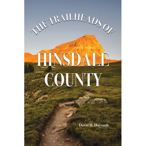
Hinsdale County lie high in the San Juan Mountains of southwestern Colorado. Rugged and remote, over 96% of the county consists of public lands, much of it designated as Wilderness. Mining roads, logging roads, jeep roads, stock trails, and trails developed by hunters and hikers crisscross the county forming a labyrinth of trails through the area. While these trails lead through some of the most beautiful land in Colorado, some trails are not well developed and others receive limited use, leaving a hiker uncertain as to whether a given trail is within his or her abilities.
The Trailheads of Hinsdale County features fifty-lone trailheads located in Hinsdale County, or trailheads with trails leading into the county. Leading from these trailheads are over one hundred trails which are discussed in detail. Each section contains direction to the trailhead, relevant beginning elevations and elevation gains, distances to destinations, and a discussion of what to expect along the trail, as well as points where navigation may become an issue. Maps accompany each section. Each trail is rated by difficulty based upon distance, elevation gain, difficulty of the terrain, and difficulty of navigation. The final section of the book discusses the author's opinions as to what trails are best suited for beginners, well suited for the different seasons of the year, as well as the author's personal favorites.



