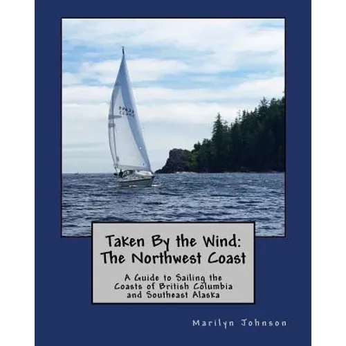
Product Description
by Marilyn Johnson (Author)
PRICE REDUCED! LIMITED TIME OFFER FOR BOAT SHOW SEASON
Common lore is that you cannot sail the northwest coast - the winds are too fickle so you must motor along the Inside Passage. The author knows that is not true because in 7 years she traveled over 10,000 NM along the northwest coast in her 38' sailboat, sailing about 2/3 of the time under way. This guide will help you understand how you can do the same.There are two features of the northwest coast inland waters that you must understand.
First, the regions you will pass through have unusual wind patterns that seem completely erratic until you understand the common summer weather patterns and how land affects wind. Then, the winds are predictable and comprehensible, and you will know when and where to sail.
Second, the tidal currents can be so strong that a narrow channel becomes a raging white water rapid, complete with whirlpools and strong eddies. With two tide cycles a day, and a height difference of up to 23 feet (7 meters), anyone traveling in a sailboat must take the extreme tidal conditions seriously. If you don't know when your travel must coincide with the appropriate current flow, you may go backwards (or worse).
This guide is not a memoir, doesn't focus on anchorages, and won't try to teach you how to sail. Instead it is a practical guide about how to take advantage of the characteristic winds and tidal currents of each area so you can enjoy sailing, rather than motoring, along this uniquely beautiful temperate wilderness coastline.
Whether you are sailboat cruising in the Pacific Northwest, or getting ready for the Race to Alaska (R2AK), this guide will help you become an expert at taking advantage of the so-called "fickle" winds.
Here are more details about the very-well researched guide.
It begins with a brief part on planning and a general overview of the currents and wind. It then provides 19 reference chapters divided into three parts: "Cruising in Civilization" from Seattle to Johnstone Strait; "Cruising in Wilderness" through Johnstone Strait, Queen Charlotte Strait and the north BC coast to Prince Rupert; and "Cruising the Big Water" from the Southeast Alaska border to Glacier Bay.
Each reference chapter identifies the relevant nautical charts, applicable weather forecasts, pertinent marine condition reporting stations, tide and current stations, details of Vessel Traffic Services (VTS) and the local commercial traffic check-in points. Each chapter also includes route planning sections that highlight important decisions that sailors must make under way based on current weather conditions, such as whether to run Johnstone Strait or take the more protected northern channels, or deciding whether and how to take an inland vs. outer route.
For planning purposes, the Appendices provide historical wind data for the summer months from more than 85 marine condition reporting stations so you can know how the wind direction and speed varies from month-to-month.
This guide is written for sailors, by a sailor who understands the conditions sailboats need for sailing. You'll find yourself constantly referring to this planning and reference guide as you sail the Pacific Northwest Coast.
Author Biography
I love sailing. Since 2009, my husband and I have spent 3-4 months each summer sailing our Nicholson 38 ketch in the Salish Sea and along the British Columbia and Southeast Alaska coasts. The most common question other sailors ask me is "How much do you really sail?" By learning how wind forms and changes in these waters, and using the strong tidal currents to our advantage, the answer is "A lot!" Our log shows we sail about 2/3 of the time we are under way. I want to let sailors know that they too can spend more time sailing than motoring, and to help them learn how, I wrote "Taken by the Wind: The Northwest Coast." My husband and I are both retired scientists who enjoy weather and the art of sailing as much as we enjoy being in the great outdoors. I hope that other sailors can benefit from our 13,000 NM of cruising knowledge gained by sailing from the Salish Sea to Glacier Bay in Southeast Alaska, the West Coast of Vancouver Island and a passage to Hilo, Hawaii.