Skip to content
Welcome To Our Store.
100,000+ Products for Home, Medical, Office & Classroom Needs
Search
Skip to product information
1 of 3

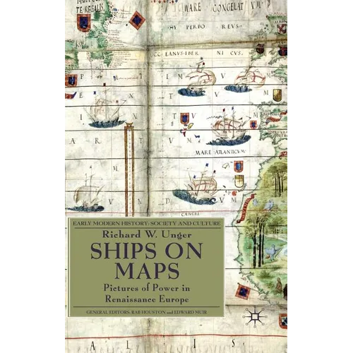
Ships on Maps: Pictures of Power in Renaissance Europe - Hardcover

$178.18 USD
$178.18 USD
Sale Sold out
Shipping calculated at checkout.
In stock (100 units), ready to be shipped

Available Offers

Fast delivery available on most orders

Multiple secure payment options accepted

Secure checkout with
  • American Express
  • Apple Pay
  • Diners Club
  • Discover
  • Google Pay
  • Mastercard
  • PayPal
  • Shop Pay
  • Visa

Flight Range: Up to 1,000 meters (3,280 feet)

Maximum Speed: 45 kilometers per hour (28 miles per hour)

For all orders exceeding a value of 100USD shipping is offered for free.

Returns will be accepted for up to 10 days of Customer’s receipt or tracking number on unworn items. You, as a Customer, are obliged to inform us via email before you return the item.

Otherwise, standard shipping charges apply. Check out our delivery Terms & Conditions for more details.

View Product Details
Shopping cart
Product Product subtotal Quantity Price Product subtotal
Ships on Maps: Pictures of Power in Renaissance Europe - Hardcover
$178.18/ea
$0.00
$178.18/ea $0.00

Product Description

by Richard W. Unger (Author)

Renaissance map-makers produced ever more accurate descriptions of geography, which were also beautiful works of art. They filled the oceans Europeans were exploring with ships and to describe the real ships which were the newest and best products of technology. Above all the ships were there to show the European conquest of the seas of the world.

Author Biography

RICHARD W. UNGER trained as an economic historian and has published widely on ships and shipping before 1800, brewing from the Middle Ages to the twentieth century and on energy use and its impact in pre-modern Europe. He has taught history at the University of British Columbia for more than four decades.

Number of Pages: 233
Dimensions: 0.8 x 9.2 x 6.1 IN
Illustrated: Yes
Publication Date: August 04, 2010
you might like

