Skip to content
Welcome To Our Store.
100,000+ Products for Home, Medical, Office & Classroom Needs
Search
Skip to product information
1 of 1

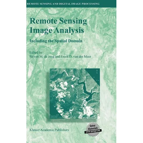
Remote Sensing Image Analysis: Including the Spatial Domain - Hardcover

$178.18 USD
$178.18 USD
Sale Sold out
Shipping calculated at checkout.
In stock (100 units), ready to be shipped

Available Offers

Fastest Delivery Tomorrow With Vip DealOrder within 1 hr 8 mins.

Instant 10% Discount On HDFC Banks Credit/Debit Cards EMI and CreditCard

Secure checkout with
  • American Express
  • Apple Pay
  • Diners Club
  • Discover
  • Google Pay
  • Mastercard
  • PayPal
  • Shop Pay
  • Visa

Flight Range: Up to 1,000 meters (3,280 feet)

Maximum Speed: 45 kilometers per hour (28 miles per hour)

For all orders exceeding a value of 100USD shipping is offered for free.

Returns will be accepted for up to 10 days of Customer’s receipt or tracking number on unworn items. You, as a Customer, are obliged to inform us via email before you return the item.

Otherwise, standard shipping charges apply. Check out our delivery Terms & Conditions for more details.

View Product Details
Shopping cart
Product Product subtotal Quantity Price Product subtotal
Remote Sensing Image Analysis: Including the Spatial Domain - Hardcover
$178.18/ea
$0.00
$178.18/ea $0.00

Product Description

by Steven M. de Jong (Editor), Freek D. Van Der Meer (Editor)

Remote Sensing image analysis is mostly done using only spectral information on a pixel by pixel basis. Information captured in neighbouring cells, or information about patterns surrounding the pixel of interest often provides useful supplementary information. This book presents a wide range of innovative and advanced image processing methods for including spatial information, captured by neighbouring pixels in remotely sensed images, to improve image interpretation or image classification. Presented methods include different types of variogram analysis, various methods for texture quantification, smart kernel operators, pattern recognition techniques, image segmentation methods, sub-pixel methods, wavelets and advanced spectral mixture analysis techniques. Apart from explaining the working methods in detail a wide range of applications is presented covering land cover and land use mapping, environmental applications such as heavy metal pollution, urban mapping and geological applications to detect hydrocarbon seeps.

The book is meant for professionals, PhD students and graduates who use remote sensing image analysis, image interpretation and image classification in their work related to disciplines such as geography, geology, botany, ecology, forestry, cartography, soil science, engineering and urban and regional planning.

Number of Pages: 359
Dimensions: 1.1 x 9.44 x 6.47 IN
Illustrated: Yes
Publication Date: August 17, 2004
you might like