Skip to content
Welcome To Our Store.
100,000+ Products for Home, Medical, Office & Classroom Needs
Search
Skip to product information
1 of 1

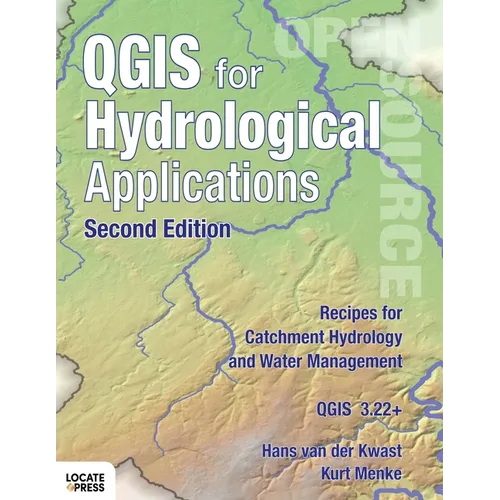
QGIS for Hydrological Applications - Second Edition: Recipes for Catchment Hydrology and Water Management - Paperback

$92.34 USD
$92.34 USD
Sale Sold out
Shipping calculated at checkout.
In stock (100 units), ready to be shipped

Available Offers

Fast delivery available on most orders

Multiple secure payment options accepted

Secure checkout with
  • American Express
  • Apple Pay
  • Diners Club
  • Discover
  • Google Pay
  • Mastercard
  • PayPal
  • Shop Pay
  • Visa

Flight Range: Up to 1,000 meters (3,280 feet)

Maximum Speed: 45 kilometers per hour (28 miles per hour)

For all orders exceeding a value of 100USD shipping is offered for free.

Returns will be accepted for up to 10 days of Customer’s receipt or tracking number on unworn items. You, as a Customer, are obliged to inform us via email before you return the item.

Otherwise, standard shipping charges apply. Check out our delivery Terms & Conditions for more details.

View Product Details
Shopping cart
Product Product subtotal Quantity Price Product subtotal
QGIS for Hydrological Applications - Second Edition: Recipes for Catchment Hydrology and Water Management - Paperback
$92.34/ea
$0.00
$92.34/ea $0.00

Product Description

by Hans Van Der Kwast (Author), Kurt Menke (Author), Gary Sherman (Editor)

Now updated - learn even more GIS skills for catchment hydrology and water management with QGIS!


This second edition workbook introduces hydrological topics to professionals in the water sector using state of the art functionality in QGIS. The book is also useful as a beginner's course in GIS concepts, using in a problem-based learning approach.


Designed to take advantage of the latest QGIS features, this book will guide you in improving your maps and analysis.

The second edition adds the following new features:

  • Covers QGIS 3.22 and higher, with 10% more pages
  • Improved and shorter workflows
  • Raster Attribute Tables are introduced
  • PCRaster Tools plugin for stream and catchment delineation
  • Flow direction styling with arrows and 3D visualization
  • Create pie charts based on layer colors with the Data Plotly plugin
  • Using and creating legend patch shapes
  • Easier elevation gradient legends using new functionality
  • Use of dynamic text in the Print Layout


Number of Pages: 184
Dimensions: 0.5 x 11 x 8.5 IN
Illustrated: Yes
Publication Date: June 13, 2022
you might like

