Product Description
by National Geographic (Author)
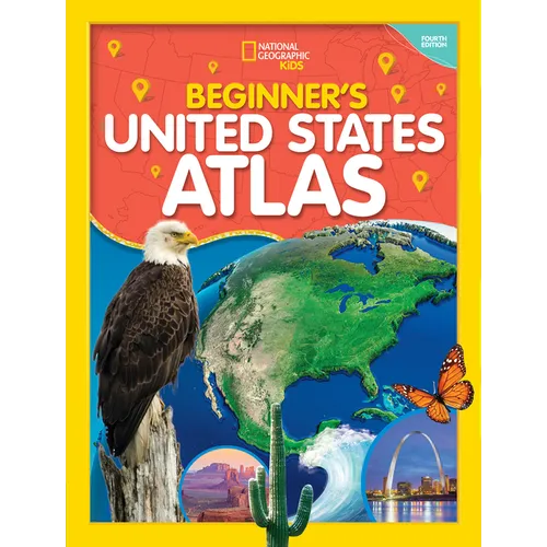
Learning about America is an exciting adventure with the updated fourth edition of this atlas specially created for children by the map experts at National Geographic.
It's a big country, and the cartographic experts at National Geographic want youngsters to have the engaging tools they need to explore and understand it. This fully revised and updated United States atlas features large, vibrant maps custom designed for children, along with bright, bold photographs and lively text that bring the nation's people, places, and natural wonders to life. Featuring:- Empowering instructions for how to read and understand maps
- Colorful physical and political United States maps
- 50 state maps designed to make it easy to find towns, cities, and physical features such as mountains, rivers, and lakes
- Lively essays highlighting each state's unique character and strengths
- Regional maps that provide a broad context for each state's location
- A feature on United States territories
- More than 200 colorful photographs
- United States facts at a glance, such as the largest cities, the highest mountain, and the largest states by area
- And more!
Author Biography
NATIONAL GEOGRAPHIC and maps go together like latitude and longitude. For more than 130 years, National Geographic maps have helped spread geographic knowledge to people around the world. Eye-catching graphic elements give the maps their distinctive look and enhance their readability. National Geographic combines the latest data gathered by modern satellite technology with innovative mapping techniques to create state-of-the-art political, physical, and thematic maps. Meticulous research and attention to detail have established a standard of excellence that is recognized worldwide.
WRITER/EXPERT SKYE POWERS-KAMINSKI is a National Geographic certified educator with a bachelor's degree in environmental geography and a master's in science and social studies education. With more than 20 years in the field of education, she has extensive experience in curriculum design and instruction. She has a passion for biogeography education and enjoys helping others develop an understanding and connection between ourselves, nature, and the cultural and physical world.