Skip to content
Welcome To Our Store.
100,000+ Products for Home, Medical, Office & Classroom Needs
Search
Skip to product information
1 of 2

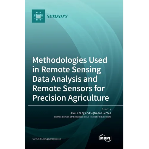
Methodologies Used in Remote Sensing Data Analysis and Remote Sensors for Precision Agriculture - Hardcover

$84.26 USD
$84.26 USD
Sale Sold out
Shipping calculated at checkout.
In stock (100 units), ready to be shipped

Available Offers

Fast delivery available on most orders

Multiple secure payment options accepted

Secure checkout with
  • American Express
  • Apple Pay
  • Diners Club
  • Discover
  • Google Pay
  • Mastercard
  • PayPal
  • Shop Pay
  • Visa

Flight Range: Up to 1,000 meters (3,280 feet)

Maximum Speed: 45 kilometers per hour (28 miles per hour)

For all orders exceeding a value of 100USD shipping is offered for free.

Returns will be accepted for up to 10 days of Customer’s receipt or tracking number on unworn items. You, as a Customer, are obliged to inform us via email before you return the item.

Otherwise, standard shipping charges apply. Check out our delivery Terms & Conditions for more details.

View Product Details
Shopping cart
Product Product subtotal Quantity Price Product subtotal
Methodologies Used in Remote Sensing Data Analysis and Remote Sensors for Precision Agriculture - Hardcover
$84.26/ea
$0.00
$84.26/ea $0.00

Product Description

by Jiyul Chang (Guest Editor), Sigfredo Fuentes (Guest Editor)

When adopting remote sensing techniques in precision agriculture, there are two main areas to consider: data acquisition and data analysis methodologies. Imagery and remote sensor data collected using different platforms provide a variety of information volumes and formats. For example, recent research in precision agriculture has used multispectral images from different platforms, such as satellites, airborne, and, most recently, drones. These images have been used for various analyses, from the detection of pests and diseases, growth, and water status of crops to yield estimations. However, accurately detecting specific biotic or abiotic stresses requires a narrow range of spectral information to be analyzed for each application. In data analysis, the volume and complexity of data formats obtained using the latest technologies in remote sensing (e.g., a cube of data for hyperspectral imagery) demands complex data processing systems and data analysis using multiple inputs to estimate specific categorical or numerical targets. New and emerging methodologies within artificial intelligence, such as machine learning and deep learning, have enabled us to deal with these increasing data volumes and the analysis complexity.


Number of Pages: 226
Dimensions: 0.75 x 9.61 x 6.69 IN
Publication Date: February 08, 2023
you might like
