Product Description
by DK (Author), Smithsonian Institution (Contribution by)
Journey back in time and take a walk through the historic streets of the world's greatest cities.
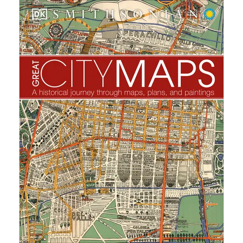
Great City Maps is the companion title to DK's Great Maps and takes a focused look at over 70 gorgeously illustrated historical maps and plans of cities around the globe. Dive into the details of each beautiful map and learn about interesting features with visual tours of the maps' highlights - such as the Old London Bridge of London in 1572 and the orchards of Brooklyn in 1767 New York. Cities are centers of civilization and the way their maps portray them reflects their politics, religion, and culture. See how certain cities, and cartographic techniques, changed over time. More than just a bird's-eye view, this irresistible book tells the tales behind the cities from the hubs of ancient peoples to modern mega-cities, and profiles the iconic cartographers and artists who created each map. Perfect for history, geography, and cartography enthusiasts and a stunning gift for armchair explorers of all ages, Great City Maps is your window into the world's most fascinating cities.Author Biography
DK was founded in London in 1974 and is now the world's leading illustrated reference publisher and part of Penguin Random House, formed on July 1, 2013. DK publishes highly visual, photographic nonfiction for adults and children. DK produces content for consumers in over 87 countries and in 62 languages, with offices in Delhi, London, Melbourne, Munich, New York, and Toronto. DK's aim is to inform, enrich, and entertain readers of all ages, and everything DK publishes, whether print or digital, embodies the unique DK design approach. DK brings unrivalled clarity to a wide range of topics with a unique combination of words and pictures, put together to spectacular effect. We have a reputation for innovation in design for both print and digital products. Our adult range spans travel, including the award-winning DK Eyewitness Travel Guides, history, science, nature, sport, gardening, cookery, and parenting. DK's extensive children's list showcases a fantastic store of information for children, toddlers, and babies. DK covers everything from animals and the human body, to homework help and craft activities, together with an impressive list of licensing titles, including the bestselling LEGO(R) books. DK acts as the parent company for Alpha Books, publisher of the Idiot's Guides series and Prima Games, video gaming publishers, as well as the award-winning travel publisher, Rough Guides.