Skip to content
Welcome To Our Store.
100,000+ Products for Home, Medical, Office & Classroom Needs
Search
Skip to product information
1 of 1

Grand Canyon Hiking Mapbook: Rim to Rim and Day Hikes - Paperback

$26.93 USD
$26.93 USD
Sale Sold out
Shipping calculated at checkout.
In stock (100 units), ready to be shipped

Available Offers

Fastest Delivery Tomorrow With Vip DealOrder within 1 hr 8 mins.

Instant 10% Discount On HDFC Banks Credit/Debit Cards EMI and CreditCard

Secure checkout with
  • American Express
  • Apple Pay
  • Diners Club
  • Discover
  • Google Pay
  • Mastercard
  • PayPal
  • Shop Pay
  • Visa

Flight Range: Up to 1,000 meters (3,280 feet)

Maximum Speed: 45 kilometers per hour (28 miles per hour)

For all orders exceeding a value of 100USD shipping is offered for free.

Returns will be accepted for up to 10 days of Customer’s receipt or tracking number on unworn items. You, as a Customer, are obliged to inform us via email before you return the item.

Otherwise, standard shipping charges apply. Check out our delivery Terms & Conditions for more details.

View Product Details
Shopping cart
Product Product subtotal Quantity Price Product subtotal
Grand Canyon Hiking Mapbook: Rim to Rim and Day Hikes - Paperback
$26.93/ea
$0.00
$26.93/ea $0.00

Product Description

by Brenna Fulton (Illustrator), Jason C. Downs (Author)

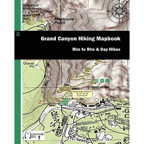
The Grand Canyon: One of our Nation's greatest treasures. Majestic. Immense. Dynamic. Dangerous. Epic. To capture the essence of the Grand Canyon, you must experience it first-hand. The following mapbook is composed of high detail, hill shaded USGS topographic maps overlaid by GPS captured hiking trails and waypoints. USGS topo maps have been used for over a century in the adventurer's pursuit of the outdoors. These topo maps are digitally scanned at high resolution, then cropped to 1:12,000 scale providing more detail for simple, more accurate navigation (original USGS topo maps are scaled at 1:24,000). Not only are these maps an excellent accessory for a GPS unit, but also work well with a magnetic compass (still essential to any hiker's tool set). In order to provide the most up-to-date maps available, MooseTrak Maps monitors trail hazards and conditions. Updates are provided to this publication regularly. Whether hiking rim to rim or enjoying a few day hikes, we know this mapbook will add to your enjoyment of the Grand Canyon


Number of Pages: 40
Dimensions: 0.1 x 10 x 8 IN
Publication Date: March 30, 2010
you might like
