


Product Description
by Chris Scott (Author)
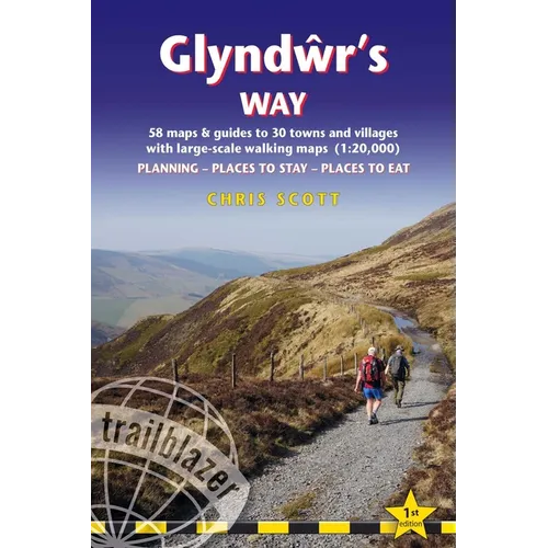
This new title in our British Walking Guides series covers the 135-mile National Trail in Wales following in the footsteps of Owain Glyndŵr, the Welsh prince who led a rebellion against the English in 1400. Traversing a range of open farmland and forest, it links with another National Trail, Offa's Dyke Path, at its start in Knighton and end in Welshpool.
- 10 town plans and 58 large-scale walking maps - at just under 1:20,000 - showing route times, places to stay, points of interest and much more
- Plus 10 overview maps
- Itineraries for all walkers - whether walking the route in its entirety over seven to eight days or sampling the highlights on day walks and short breaks
- Practical information for all budgets - camping, bunkhouses, hostels, B&Bs, pubs and hotels - where to stay, where to eat, what to see, plus detailed street plans
- Comprehensive public transport information - for all access points on the path.
- Flora and fauna - four page full color flower guide, plus an illustrated section on local wildlife
- Green hiking - understanding the local environment and minimizing our impact on it
- GPS waypoints. These are also downloadable from the Trailblazer website.
- Includes extra colour sections: 16pp colour introduction and 10pp of colour mapping for stage sections (one stage per page) with trail profiles.
Author Biography
Among other things Chris Scott is an adventure travel writer. He's cycled in the Himalaya and Hindu Kush, kayaked off the West Australian coast, packrafted in Scotland, France and Utah, and motorcycled across the Sahara where he's also travelled by bush taxi, truck, 4x4 and camel caravan. In the UK he's walked the Pennine Way and the Coast to Coast Path and now Glyndwr's Way in Wales.



