Skip to content
Save 5% on your next order with code PREMIUM5!
100,000+ Products for Home, Medical, Office & Classroom Needs
Search
Skip to product information
1 of 1

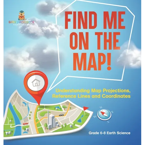
Find Me on the Map! Understanding Map Projections, Reference Lines and Coordinates Grade 6-8 Earth Science - Hardcover

$36.70 USD
$36.70 USD
Sale Sold out
Shipping calculated at checkout.
In stock (100 units), ready to be shipped

Available Offers

Fast delivery available on most orders

Multiple secure payment options accepted

Secure checkout with
  • American Express
  • Apple Pay
  • Diners Club
  • Discover
  • Google Pay
  • Mastercard
  • PayPal
  • Shop Pay
  • Visa

Flight Range: Up to 1,000 meters (3,280 feet)

Maximum Speed: 45 kilometers per hour (28 miles per hour)

For all orders exceeding a value of 100USD shipping is offered for free.

Returns will be accepted for up to 10 days of Customer’s receipt or tracking number on unworn items. You, as a Customer, are obliged to inform us via email before you return the item.

Otherwise, standard shipping charges apply. Check out our delivery Terms & Conditions for more details.

View Product Details
Shopping cart
Product Product subtotal Quantity Price Product subtotal
Find Me on the Map! Understanding Map Projections, Reference Lines and Coordinates Grade 6-8 Earth Science - Hardcover
$36.70/ea
$0.00
$36.70/ea $0.00

Product Description

by Baby Professor (Author)

This book is an indispensable resource for teachers looking to introduce the complex topics of map projections, reference lines, and coordinates to middle school students. From ancient theories about the Earth's shape to the intricacies of modern GPS technology, it covers essential concepts in understanding how our planet is represented on maps. Students will learn about the significance of longitude and latitude, different types of map projections, and the role of technology in mapping today. Engage your class with practical experiments to bring these geographical concepts to life. Perfect for enriching your earth science curriculum, encourage your students to navigate the world of maps confidently.

Number of Pages: 72
Dimensions: 0.25 x 8.5 x 8.5 IN
Publication Date: January 04, 2024
you might like