


Product Description
by J. Bruce Jones (Illustrator), J. Bruce Jones (Author)
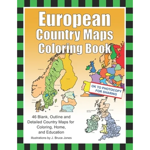
Learn about and color the countries of Europe in European Country Maps Coloring Book, 46 Blank, Outline and Detailed Country Maps for Coloring, Home, and Education.
- Learn and color blank, outline and detailed maps of the European Countries.
- Includes France, United Kingdom, Italy, Sweden, Germany, Spain and 40 more.
- The blank outline maps are great for learning the geography and layout of each country.
- Each country map is presented in two ways, a map of their administrative districts or political borders, including capitals and several cities.
- Plus, a blank outline map of each country. Many maps include the surrounding border countries.
Perfect for coloring, home, and education. Students can trace the outlines of the map, study and highlight countries and features on the blank maps. Maps can be photocopied for sharing with your children or students. A great resource for students and teachers. Black outline detailed and blank maps included in this book:
- Europe, with countries and blank outline
Country Maps:
- Albania
- Andorra
- Austria
- Belarus
- Belgium & Luxembourg
- Bosnia and Herzegovina
- Bulgaria
- Croatia
- Cyprus
- Czech Republic
- Denmark
- Estonia
- Finland
- France
- France, Administrative Districts
- France, Provincial Boundary
- Germany
- Greece
- Hungary
- Iceland
- Ireland
- Italy
- Kosovo
- Latvia
- Liechtenstein
- Lithuania
- Luxembourg
- North Macedonia
- Malta
- Moldova
- Monaco
- Montenegro
- Netherlands
- Norway
- Poland
- Portugal
- Romania
- Russia
- Serbia and Kosovo
- Slovakia
- Slovenia
- Spain and Portugal
- Spain, Autonomous Communities
- Sweden
- Switzerland
- Ukraine
- United Kingdom
- Vatican
- United States of America
- World Map - Mercator Projections The printable, blank, detailed and outline country maps in this coloring book can be freely photocopied by a teacher or parent for use in a classroom or for home lessons.
Number of Pages: 106
Dimensions: 0.22 x 11 x 8.5 IN
Publication Date: August 17, 2020



