Skip to content
Welcome To Our Store.
100,000+ Products for Home, Medical, Office & Classroom Needs
Search
Skip to product information
1 of 2

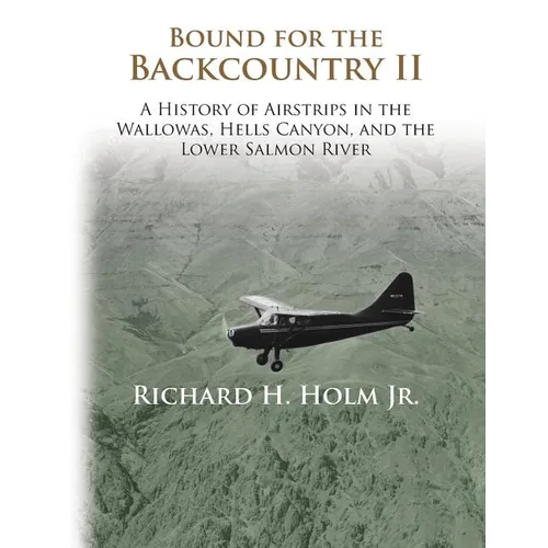
Bound for the Backcountry II: A History of Airstrips in the Wallowas, Hells Canyon, and the Lower Salmon River - Paperback

$57.53 USD
$57.53 USD
Sale Sold out
Shipping calculated at checkout.
In stock (100 units), ready to be shipped

Available Offers

Fast delivery available on most orders

Multiple secure payment options accepted

Secure checkout with
  • American Express
  • Apple Pay
  • Diners Club
  • Discover
  • Google Pay
  • Mastercard
  • PayPal
  • Shop Pay
  • Visa

Flight Range: Up to 1,000 meters (3,280 feet)

Maximum Speed: 45 kilometers per hour (28 miles per hour)

For all orders exceeding a value of 100USD shipping is offered for free.

Returns will be accepted for up to 10 days of Customer’s receipt or tracking number on unworn items. You, as a Customer, are obliged to inform us via email before you return the item.

Otherwise, standard shipping charges apply. Check out our delivery Terms & Conditions for more details.

View Product Details
Shopping cart
Product Product subtotal Quantity Price Product subtotal
Bound for the Backcountry II: A History of Airstrips in the Wallowas, Hells Canyon, and the Lower Salmon River - Paperback
$57.53/ea
$0.00
$57.53/ea $0.00

Product Description

by Richard H. Holm (Author)

The backcountry of west central Idaho and eastern Oregon has some of the better winter and spring flying opportunities found anywhere in the Northwest. For the first time a comprehensive history of more than forty of the isolated airstrips in the region has been compiled, detailing the construction and historical events of each. The book covers the airstrips of the Wallowa Mountains (Eagle Cap Wilderness), the middle Snake River (Hells Canyon Dam to Cache Creek), and the lower Salmon River (American Bar to the Snake River). Combined with the history of each individual location are interesting stories related to homesteaders, ranchers, runway owners, hunters, river rafters, jet boaters, hikers, pilots, and airplanes. Maps highlight an incredible amount of information and 250+ black and white photographs.


Number of Pages: 260
Dimensions: 0.55 x 11.02 x 8.5 IN
Publication Date: January 01, 2015
you might like
