Product Description
by Center for Great Plains Studies (Author), John C. Hudson (Introduction by), David J. Wishart (Foreword by)
2011 Booklist Editor's Choice, reference category
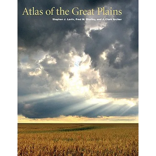
The Great Plains, stretching northward from Texas into Canada, is a region that has been understudied and overlooked. The Atlas of the Great Plains, however, brings a new focus to North America's midcontinent. With more than three hundred original full-color maps, accompanied by extended explanatory text, this collection chronicles the history of the Great Plains, including political and social developments. Far more than simply the geography of the region, this atlas explores a myriad of subjects from Native Americans to settlement patterns, agricultural ventures to voting records, and medical services to crime rates. These detailed and beautifully designed maps convey the significance of the region, capturing the essence of its land and life. The only current and comprehensive atlas of the Great Plains region, it is also the first atlas to include both the United States and Canada, showing the region's full length and breadth.
Author Biography
Stephen J. Lavin (1943-2011) was a professor of geography at the University of Nebraska-Lincoln. He is the coauthor (with J. Clark Archer and Fred M. Shelley) of the Historical Atlas of U.S. Presidential Elections, 1788-2004 and the Atlas of American Politics, 1960-2000. Fred M. Shelley is a professor of geography at the University of Oklahoma. He is the coauthor of The Geography of North America: Environment, Political Economy, and Culture. J. Clark Archer is a professor of geography at the University of Nebraska-Lincoln. David J. Wishart is a professor of geography at the University of Nebraska-Lincoln and the editor of the Encyclopedia of the Great Plains (Nebraska 2004). John C. Hudson is a professor of geography at Northwestern University and author of Across This Land: A Regional Geography of the United States and Canada.