Product Description
by Fred Espenak (Author)
With the upcoming total solar eclipse of 2017 August 21, certain questions naturally arise as to the frequency of these events. When was the last total eclipse through the USA and when is the next? How often do they happen? What total eclipse tracks passed across the USA during the 17th, 18th, and 19th centuries, etc., and what states did they include? And how often is a total solar eclipse visible from each of the 50 states?
In 2012 the track of an annular solar eclipse passed through the western USA. The same questions can be asked about this type of eclipse as well.
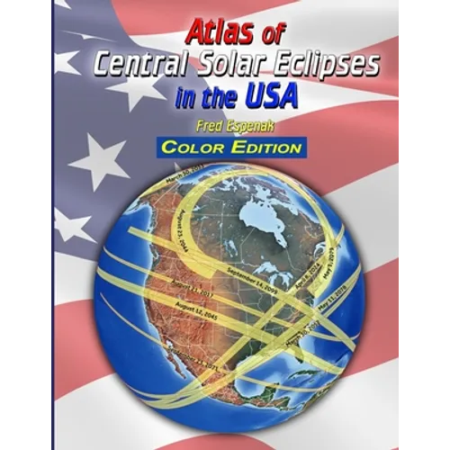
The "Atlas of Central Solar Eclipses in the USA" answers all of these questions. It contains of a comprehensive series of 499 global maps showing the geographic track of every single total and annular solar eclipse across the USA (including Alaska and Hawaii) during the two-thousand-year period 1001 through 3000. It is accompanied by a catalog that lists the major characteristics of each eclipse including its duration and whether it is visible from the lower 48 states, Alaska and/or Hawaii.
Finally, a set of 20 detailed maps, each covering a 50-year period and centered on the lower 48 states, shows the path of every central eclipse (total or annular). The maps include state boundaries and the location of major cities. This allows quick determination as to whether a particular eclipse was visible from any state or city in question. These maps also cover southern Canada and northern Mexico.
There is something compelling about the pattern of eclipse tracks crossing familiar places many hundreds of years in the past and future. It was this fascination that inspired the creation of the Atlas.