Product Description
by Colin D. MacLeod (Author)
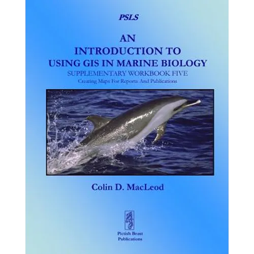
This book is the fifth companion volume to 'An Introduction To Using GIS In Marine Biology'. It is designed to augment the information on using GIS in marine biology provided in that book, and, indeed, to be used alongside it rather than to be used independently as a stand-alone volume. Therefore, this book will be of most interest to those who have already read 'An Introduction To Using GIS In Marine Biology'. This book consists of five exercises covering the practical use of GIS in marine biology using ESRI's ArcGIS(R) 10.2 software. These exercises are based around creating maps for reports and presentations. They range from making a map template which allows you to quickly make new maps in a standard format to creating a custom legend which allows you to repeatedly apply the same symbols to multiple data layers and making multi-part maps . The exercises are designed to be followed in the order they are presented, and work with a specific data set, which can be download separately for free. Working through these five exercises will help the novice GIS user obtain experience making maps for reports and presenations, and so develop their GIS skills. Unlike most other GIS tutorials, this information is specifically presented in a marine biological context and all the exercises use real data from a marine biological study. Therefore, these exercises are more likely to provide the kind of experience in using GIS that marine biologists will find useful and applicable to their own research. These exercises are presented in the same easy-to-follow flow diagram-based format first introduced in the 'How To...' section of 'An Introduction To Using GIS In Marine Biology'. They are accompanied by images which show the user how their GIS project should look as they progress through the exercises, allowing them to compare their own work to the expected results. This is part of the PSLS series of books which use Task-Oriented Learning (TOL) to teach the practical application of research skills to the life sciences. This involves demonstrating how these skills can be used in the specific circumstances in which they are likely to be required rather than concentrating on teaching theoretical frameworks or on teaching skills in a generic or abstract manner. By seeing how the similar processes are used to achieve a variety of different goals within a specific field, it becomes easier for the reader to identify the general rules behind the practical application of these processes and, therefore, to transfer them to novel situations they may encounter in the future.
Author Biography
Dr. Colin D. MacLeod has twenty years experience as a marine biologist working with whales and dolphins, seabirds and squid. He has also spent over a decade working with geographic information systems (GIS) and teaching marine biologists and ecologists how to use it in their research.