Product Description
by Mary Caperton Morton (Author)
"Get your head into the clouds with Aerial Geology." --The New York Times Book Review
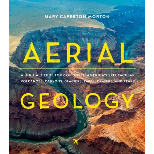
Aerial Geology is an up-in-the-sky exploration of North America's 100 most spectacular geological formations. Crisscrossing the continent from the Aleutian Islands in Alaska to the Great Salt Lake in Utah, Mary Caperton Morton brings you on a fantastic tour, sharing aerial and satellite photography, explanations on how each site was formed, and details on what makes each landform noteworthy. Maps and diagrams help illustrate the geological processes and help clarify scientific concepts. Fact-filled, curious, and way more fun than the geology you remember from grade school, Aerial Geology is a must-have for the insatiably curious, armchair geologists, million-mile travelers, and anyone who has stared out the window of a plane and wondered what was below.Front Jacket
A window seat to the greatest show on Earth!
Earth's surface is a dramatic story of explosions, collisions, upheaval, and erosion. To comprehend such massive events and how they've altered the landscape, we need to see the big picture-- from above. Aerial Geology provides a continent-wide perspective of North America's 100 most remarkable landforms, from the ever-erupting Aleutian Islands of Alaska, to the migrating Baja California Peninsula, to the perfectly round crater blasted by a meteorite in eastern Canada. Mary Caperton Morton--with help from eye-popping images and descriptive illustrations--explains the powerful forces that are constantly reshaping our planet, bringing geology to magnificent life. You'll never see the ground beneath you the same way again.Author Biography
Mary Caperton Morton is a freelance science and travel writer and a regular contributor to EARTH magazine. Mary also inspires people to see more of the world with her blog Travels with the Blonde Coyote. In her 10 years as a road warrior nomad, Mary hiked in all 50 states and evolved from a girl who looks up at the mountains to a woman who climbs to the summits. She now lives at 8,000 feet in Big Sky, Montana. When she's not at the keyboard, you can find her outside, hiking, skiing, and mountaineering.
Number of Pages: 308
Dimensions: 1 x 11.05 x 9.8 IN
Illustrated: Yes
Publication Date: October 04, 2017