Trekking/Hiking Trail Map Puerto Montt & Puerto Varas Alerce Andino National Park Reloncavi, Lago Chapo, Calbuco Volcano Chile Los Lagos Topographic M - Paperback
Available Offers
Fastest Delivery Tomorrow With Vip DealOrder within 1 hr 8 mins.
Instant 10% Discount On HDFC Banks Credit/Debit Cards EMI and CreditCard
Couldn't load pickup availability
Product Details
Flight Range: Up to 1,000 meters (3,280 feet)
Maximum Speed: 45 kilometers per hour (28 miles per hour)
Shipping And Return
For all orders exceeding a value of 100USD shipping is offered for free.
Returns will be accepted for up to 10 days of Customer’s receipt or tracking number on unworn items. You, as a Customer, are obliged to inform us via email before you return the item.
Otherwise, standard shipping charges apply. Check out our delivery Terms & Conditions for more details.
Product Description
by Sergio Mazitto (Author)
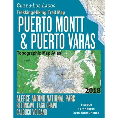
Updated edition. Chile Lake Region. Complete map of the Alerce Andino National Park covering great walks and wonderful hiking trails in the area. Surroundings of Puerto Montt and Puerto Varas are also covered.Detailed topographic map 1:50.000 & 20 meter contours for hiking and trekking, printed as an atlas book (with overlapping pages).
Puerto Montt, Puerto Varas, Alerce Andino National Park, Reloncavi Estuary, Lake Chapo, Calbuco volcano, southern shore of Lake Llanquihue, etc.
20 meter contour lines, road network, trails & paths, transportation, food, campsites, shelters, guest houses & hotels.Mercator projection with both UTM and WGS84 coordinate grids.
The map scale of 1:50000 (1 cm = 500 meters) provides a wealth of detail while keeping low the weight of the atlas itself. The largepage format of 8.5x11in minimizes page count and along with an overlapping map design allows for comfortable navigation.
The details included in the topographic maps of this atlas were specifically selected to be useful for trekkers, hikers and walkers ofall interests, and make it easy to plan and enjoy both short excursions and hikes as well as long multi-day adventures along themain marked routes and/or adjacent trails and paths, which are also shown on the maps.
With this ultralight atlas you will always have a detailed, reliable, information-rich, battery-independent, shatter-proof map for youradventure.