Skip to content
Welcome To Our Store.
100,000+ Products for Home, Medical, Office & Classroom Needs
Search
Skip to product information
1 of 1

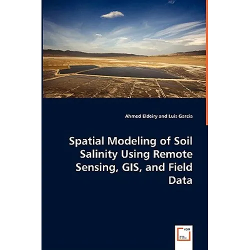
Spatial Modeling of Soil Salinity Using Remote Sensing, GIS, and Field Data - Paperback

$76.21
$76.21
Sale Sold out
Shipping calculated at checkout.
In stock (100 units), ready to be shipped

Available Offers

Fastest Delivery Tomorrow With Vip DealOrder within 1 hr 8 mins.

Instant 10% Discount On HDFC Banks Credit/Debit Cards EMI and CreditCard

Secure checkout with
  • American Express
  • Apple Pay
  • Diners Club
  • Discover
  • Google Pay
  • Mastercard
  • PayPal
  • Shop Pay
  • Visa

Flight Range: Up to 1,000 meters (3,280 feet)

Maximum Speed: 45 kilometers per hour (28 miles per hour)

For all orders exceeding a value of 100USD shipping is offered for free.

Returns will be accepted for up to 10 days of Customer’s receipt or tracking number on unworn items. You, as a Customer, are obliged to inform us via email before you return the item.

Otherwise, standard shipping charges apply. Check out our delivery Terms & Conditions for more details.

View Product Details
Shopping cart
Product Product subtotal Quantity Price Product subtotal
Spatial Modeling of Soil Salinity Using Remote Sensing, GIS, and Field Data - Paperback
$76.21/ea
$0.00
$76.21/ea $0.00

Product Description

by Ahmed Eldeiry (Author), Luis Garcia (Author)

The environmental damage that salinity can cause is massive. In its early stages, soil salinization reduces soil productivity, but in advanced stages, salinization kills all vegetation and transforms fertile and productive land to barren waste. Remote sensing data has great potential for monitoring dynamic processes, including salinization. Any integration of field data, GIS, and remote sensing is considered weak unless some strong statistical measures are introduced. This study has shown the benefit of using satellite images in generating accurate soil salinity maps. Corn and alfalfa crops were selected as indicators of soil salinity. Five images were acquired from Aster, Ikonos, and Landsat to check the correlation between measured soil salinity and remote sensing data. Observed data was used in conjunction with satellite images. Three models were applied to predict soil salinity from remote sensing: the ordinary least squares model (OLS), spatial autoregressive model (SAR), and modified kriging model. This study has demonstrated a more efficient and accurate way of estimating soil salinity from remote sensing data that should help the efforts toward sustainable agriculture.

Number of Pages: 112
Dimensions: 0.23 x 9 x 6 IN
Publication Date: August 04, 2008
you might like