Skip to content
Welcome To Our Store.
100,000+ Products for Home, Medical, Office & Classroom Needs
Search
Skip to product information
1 of 2

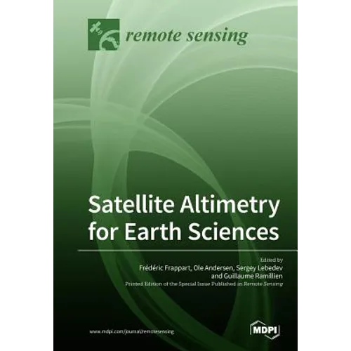
Satellite Altimetry for Earth Sciences - Paperback

$123.66
$123.66
Sale Sold out
Shipping calculated at checkout.
In stock (100 units), ready to be shipped

Available Offers

Fastest Delivery Tomorrow With Vip DealOrder within 1 hr 8 mins.

Instant 10% Discount On HDFC Banks Credit/Debit Cards EMI and CreditCard

Secure checkout with
  • American Express
  • Apple Pay
  • Diners Club
  • Discover
  • Google Pay
  • Mastercard
  • PayPal
  • Shop Pay
  • Visa

Flight Range: Up to 1,000 meters (3,280 feet)

Maximum Speed: 45 kilometers per hour (28 miles per hour)

For all orders exceeding a value of 100USD shipping is offered for free.

Returns will be accepted for up to 10 days of Customer’s receipt or tracking number on unworn items. You, as a Customer, are obliged to inform us via email before you return the item.

Otherwise, standard shipping charges apply. Check out our delivery Terms & Conditions for more details.

View Product Details
Shopping cart
Product Product subtotal Quantity Price Product subtotal
Satellite Altimetry for Earth Sciences - Paperback
$123.66/ea
$0.00
$123.66/ea $0.00

Product Description

by Frédéric Frappart (Guest Editor), Ole Andersen (Guest Editor), Sergey Lebedev (Guest Editor)

Satellite altimetry is a radar technique for measuring the topography of the Earth's surface. It was initially designed for measuring the ocean's topography, with reference to an ellipsoid, and for the determination of the marine geoid. Satellite altimetry has provided extremely valuable information on ocean science (e.g., circulation surface geostrophic currents, eddy structures, wave heights, and the propagation of oceanic Kelvin and Rossby waves). With more than 25 years of observations, it is also becoming vital to climate research, providing accurate measurements of sea level variations from regional to global scales. Altimetry has also demonstrated a strong potential for geophysical, cryospheric, and hydrological research and is now commonly used for the monitoring of Arctic and Antarctic ice sheet topography and of terrestrial surface water levels. This book aims to present reviews and recent advances of general interest in the use of radar altimetry in Earth sciences. Manuscripts are related to any aspect of radar altimetry technique or geophysical applications. We also encourage manuscripts resulting from the application of new altimetric technology (SAR, SARin, and Ka band) and improvements expected from missions to be launched in the near future (i.e., SWOT).

Number of Pages: 484
Dimensions: 1.32 x 9.61 x 6.69 IN
Illustrated: Yes
Publication Date: April 09, 2019
you might like