Skip to content
Welcome To Our Store.
100,000+ Products for Home, Medical, Office & Classroom Needs
Search
Skip to product information
1 of 1

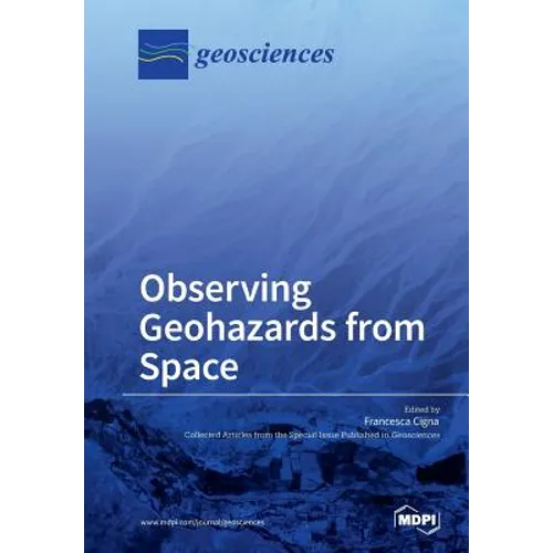
Observing Geohazards from Space - Paperback

$83.52
$83.52
Sale Sold out
Shipping calculated at checkout.
In stock (100 units), ready to be shipped

Available Offers

Fastest Delivery Tomorrow With Vip DealOrder within 1 hr 8 mins.

Instant 10% Discount On HDFC Banks Credit/Debit Cards EMI and CreditCard

Secure checkout with
  • American Express
  • Apple Pay
  • Diners Club
  • Discover
  • Google Pay
  • Mastercard
  • PayPal
  • Shop Pay
  • Visa

Flight Range: Up to 1,000 meters (3,280 feet)

Maximum Speed: 45 kilometers per hour (28 miles per hour)

For all orders exceeding a value of 100USD shipping is offered for free.

Returns will be accepted for up to 10 days of Customer’s receipt or tracking number on unworn items. You, as a Customer, are obliged to inform us via email before you return the item.

Otherwise, standard shipping charges apply. Check out our delivery Terms & Conditions for more details.

View Product Details
Shopping cart
Product Product subtotal Quantity Price Product subtotal
Observing Geohazards from Space - Paperback
$83.52/ea
$0.00
$83.52/ea $0.00

Product Description

by Francesca Cigna (Guest Editor)

With a wide spectrum of imaging capabilities, Earth observation offers several opportunities for the geoscience community to map and monitor natural and human-induced Earth hazards from space.
The objective of this book is to collect scientific contributions on the development, validation, and implementation of satellite data, processing methods, and applications for mapping and monitoring of geohazards such as slow moving landslides, ground subsidence and uplift, and active and abandoned mining-related ground movements.
The book includes research papers published in the Special Issue "Observing Geohazards from Space" of Geosciences, which provides a number of novel case studies demonstrating how Earth observation and remote sensing data can be used to detect and delineate land instability and geological hazards in different environmental contexts and using a range of spatial resolutions and image processing methods.

Number of Pages: 252
Dimensions: 0.68 x 9.61 x 6.69 IN
Illustrated: Yes
Publication Date: April 09, 2018
you might like