Product Description
by Sergio Mazitto (Author)
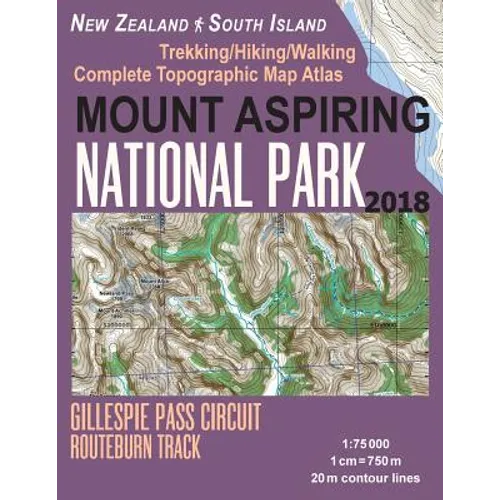
Updated edition. Complete map of the Mount Aspiring National Park covering great walks and wonderful tramping/hiking trails in the area. Detailed topographic map 1:75.000 for hiking and trekking, printed as an atlas book (with overlapping pages).
Blue Pools Track, Makarora River, Young River, Mount Brewster Track, Fantail Falls, Haast River, Bridle Track, Upper Cameron Gorge, Cascade Saddle Route (an alpine crossing between the West Matukituki and the Dart valleys in Te Wahipounamu - South West New Zealand World Heritage Area), East Matukituki Valley, French Ridge Track, Crucible Lake, Gillespie Pass Circuit, Roaring Billy Falls, Kea Basin, Mt Earnslaw/Pikirakatahi, Lake Sylvan Track, Liverpool Track is in the Matukituki Valley, Makarora Valley Track, Mount Shrimpton Track, McKerrow Range, Pearl Flat, Rees-Dart Track, Rob Roy Track, Routeburn Nature Walk, Lake Harris, Shotover Saddle Route, Sugarloaf/Rockburn Track, West Matukituki Track, Wilkin Valley - East Matukituki Traverse, The Gates of Haast Waterfall etc.
20 meter contour lines, road network, trails & paths, transportation, food, campsites, shelters, guest houses & hotels.Mercator projection with both UTM and WGS84 coordinate grids.
The map scale of 1:75000 (1 cm = 750 meters) provides a wealth of detail while keeping low the weight of the atlas itself. The large page format of 8.5x11in minimizes page count and along with an overlapping map design allows for comfortable navigation.
The details included in the topographic maps of this atlas were specifically selected to be useful for trekkers, hikers and walkers of all interests, and make it easy to plan and enjoy both short excursions and hikes as well as long multi-day adventures along the main marked routes and/or adjacent trails and paths, which are also shown on the maps.
With this ultralight atlas you will always have a detailed, reliable, information-rich, battery-independent, shatter-proof map for your adventure.