Skip to content
Welcome To Our Store.
100,000+ Products for Home, Medical, Office & Classroom Needs
Search
Skip to product information
1 of 1

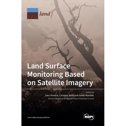
Land Surface Monitoring Based on Satellite Imagery - Hardcover

$84.26
$84.26
Sale Sold out
Shipping calculated at checkout.
In stock (100 units), ready to be shipped

Available Offers

Fastest Delivery Tomorrow With Vip DealOrder within 1 hr 8 mins.

Instant 10% Discount On HDFC Banks Credit/Debit Cards EMI and CreditCard

Secure checkout with
  • American Express
  • Apple Pay
  • Diners Club
  • Discover
  • Google Pay
  • Mastercard
  • PayPal
  • Shop Pay
  • Visa

Flight Range: Up to 1,000 meters (3,280 feet)

Maximum Speed: 45 kilometers per hour (28 miles per hour)

For all orders exceeding a value of 100USD shipping is offered for free.

Returns will be accepted for up to 10 days of Customer’s receipt or tracking number on unworn items. You, as a Customer, are obliged to inform us via email before you return the item.

Otherwise, standard shipping charges apply. Check out our delivery Terms & Conditions for more details.

View Product Details
Shopping cart
Product Product subtotal Quantity Price Product subtotal
Land Surface Monitoring Based on Satellite Imagery - Hardcover
$84.26/ea
$0.00
$84.26/ea $0.00

Product Description

by Sara Venafra (Editor), Carmine Serio (Editor), Guido Masiello (Editor)

This book focuses attention on significant novel approaches developed to monitor land surface by exploiting satellite data in the infrared and visible ranges. Unlike in situ measurements, satellite data provide global coverage and higher temporal resolution, with very accurate retrievals of land parameters. This is fundamental in the study of climate change and global warming. The authors offer an overview of different methodologies to retrieve land surface parameters- evapotranspiration, emissivity contrast and water deficit indices, land subsidence, leaf area index, vegetation height, and crop coefficient-all of which play a significant role in the study of land cover, land use, monitoring of vegetation and soil water stress, as well as early warning and detection of forest fires and drought.

Number of Pages: 232
Dimensions: 0.75 x 9.61 x 6.69 IN
Publication Date: December 06, 2022
you might like