John Muir Trail Pocket Maps - Paperback
Available Offers
Fastest Delivery Tomorrow With Vip DealOrder within 1 hr 8 mins.
Instant 10% Discount On HDFC Banks Credit/Debit Cards EMI and CreditCard
Couldn't load pickup availability
Product Details
Flight Range: Up to 1,000 meters (3,280 feet)
Maximum Speed: 45 kilometers per hour (28 miles per hour)
Shipping And Return
For all orders exceeding a value of 100USD shipping is offered for free.
Returns will be accepted for up to 10 days of Customer’s receipt or tracking number on unworn items. You, as a Customer, are obliged to inform us via email before you return the item.
Otherwise, standard shipping charges apply. Check out our delivery Terms & Conditions for more details.
Product Description
by K. Scott Parks (Author)
New for 2018
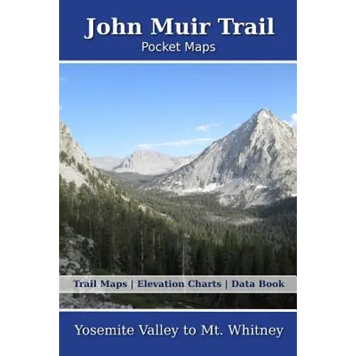
1 overview map, 7 section overview maps, 39 trail maps, 7 meta-data pages, elevation chart on every map page and 16 page data book makes this the most complete resource available for the John Muir Trail (JMT) hiker.
These are not 40 year old, scanned topo maps. Made from the latest data available, presented in uniform styles and colors, consistent unit of measure throughout and 10 types of land cover not seen in any other complete map sets.
Each section is preceded by a "Meta-Data" page. This has a section elevation chart, climate data and snow cover data for every month of the year. You'll also find all resupply departure points, road crossings, lakes within 1/4 mile of the trail, lightning strikes within a 1/4 mile of trail, geology, public land boundaries and land cover. This unique information is not to be found anywhere else.
Features:
+ Digitized base maps, not old, scanned USGS maps
+ 1 overview map of the entire trail
+ 7 small scale section overview maps with elevation charts, sub-sections
+ 7 meta-data pages with climate, public lands, creeks, lakes, etc
+ 39 large scale (1:31,600) trail maps with elevation charts and resupply information
+ 18 page data book containing 383 trail locations with resupply and elevation charts
+ The latest actual land cover available, not 40 year old 'woodland polygons'
+ Beautiful 3D hill shade
+ Accumulated trail mileage every mile
+ Resupply locations within 90 miles of map center
+ 10 beautiful land cover shades enhanced with textures. Evergreen, deciduous, mixed, scrub, wetlands and more
+ All feature names from January 2018, USGS Geographic Names Information System (GNIS)
+ 6" x 9" (15.2cm x 22.9cm) format for easy pack stowage
+ Overview map contour intervals of 1000/200 feet
+ Trail map contour intervals of 200/40 feet
+ Decimal degree lat/lng grids only to prevent poor communication
+ Accumulated trail mileage every mile
+ Accurate and current trail trace
+ Much more detail than possible on any smart phone app. Printed maps don't require batteries!
These 6" x 9" full color topographic maps are designed to stow easily into your pack, without sacrificing the detail required by a hiker in the back country.