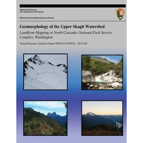
Geomorphology of the Upper Skagit Watershed Landform Mapping at North Cascades National Park Service Complex, Washington - Paperback
Available Offers
Fastest Delivery Tomorrow With Vip DealOrder within 1 hr 8 mins.
Instant 10% Discount On HDFC Banks Credit/Debit Cards EMI and CreditCard
Couldn't load pickup availability
Product Details
Flight Range: Up to 1,000 meters (3,280 feet)
Maximum Speed: 45 kilometers per hour (28 miles per hour)
Shipping And Return
For all orders exceeding a value of 100USD shipping is offered for free.
Returns will be accepted for up to 10 days of Customer’s receipt or tracking number on unworn items. You, as a Customer, are obliged to inform us via email before you return the item.
Otherwise, standard shipping charges apply. Check out our delivery Terms & Conditions for more details.
Product Description
by National Park Service (Author)
The primary purpose of this report is to describe the background information, methods and results of a surficial geology inventory within the North Cascades National Park Service Complex (NOCA). This is one of twelve basic inventories called for in the National Park Service (NPS) National Resource Challenge. A secondary goal is to provide an overview of bedrock geology, climate, hydrology and vegetation as they affect landform processes. The study area for this report is the Upper Skagit Watershed, which is defined as drainages within NOCA that flow into Ross Lake. On the west side of Ross Lake this includes Little Beaver, Big Beaver, Silver, Arctic, Skymo and No Name Creeks. On the east side of Ross Lake this includes Lightning, Hozomeen, Dry, May, Roland, Devils, Ruby and Panther Creeks.